Nature
The Chandragiri river: sandbanks, ghats and the fort above it
The district's northern river is treated as the edge of Tulu country, and its wide bed of sand is as much a part of the landscape as the fort on the bank.
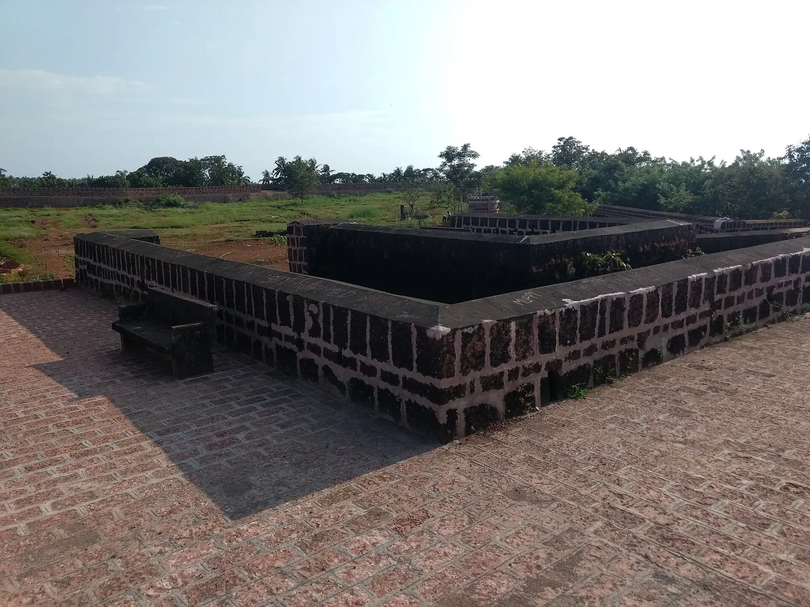
Photograph: TP RADHAKRISHNAN / CC BY-SA 4.0, via Wikimedia Commons
A river that marks a border
The Chandragiri, also called the Payaswini, runs down from the Western Ghats and reaches the sea near Kasaragod town. It is not a large river for most of the year, but it is a boundary in the way that matters here: the country north of it is Tulu-speaking, the country south of it is Malayali, and the fort on its bank was built to watch the crossing.
That is the useful thing to hold in mind while looking at it. The river is a line between two linguistic and cultural worlds, and the district's mixed character comes from sitting on both sides of it.
The fort and the view
Chandragiri fort stands on the south bank above the water, a compact laterite structure with a wall, a gate and an outlook. It is a small fort and does not take long, but the position explains it: from the wall you can see the river, the sandbanks and the road that has always crossed here.
The best time is late afternoon, when the light comes along the water and the fort's stone turns the colour of the sand. Mornings are quieter but flatter.
The sand bed in the dry months
Through the dry season the river withdraws into a wide bed of pale sand, with channels running between bars and the water often only ankle-deep across the middle. It looks like a place to walk, and people do cross it, but the bed is uneven and the channels can be deeper than they appear.
Do not drive onto the sand and do not walk out at dusk without a local. The river is tidal near its mouth, the channels shift with each flood, and a bar that held your weight in the morning can be scoured out by evening.
Fishing, sand and the working river
The river is fished, and sand is lifted from its bed, and both are visible from the bank if you sit for half an hour. It is not a picture-postcard river; it is a working one, and the boats and the dredging are part of what you are looking at.
That also means the river has pressures on it. Sand removal and the changing flow are live issues across Kerala's rivers, and the Chandragiri is no exception. Visiting well means not adding to them: no litter, no driving on the bed, no removing anything.
Making a half day of it
Pair the fort with the riverbank rather than treating them as separate stops. Walk the wall, then take the road down to the water and sit on the ghats where the boats tie up. It is a slow half day, and it is best in the dry months when the sand is pale and the water low.
In the monsoon the river fills, the sand disappears and the whole scene changes. That is worth seeing too, from a safe distance, with the fort as the vantage point rather than the bank.
The district in brief
Kerala's northernmost district has a distinct Konkani and Tulu flavour. Bekal Fort is the headline, but the district's rivers, laterite cliffs and low hills reward travellers who continue past the usual circuit.
Elsewhere in Kasaragod
Bekal Fort. A vast laterite fort on the sea, with a long rampart and a private beach below.
Destination in this story
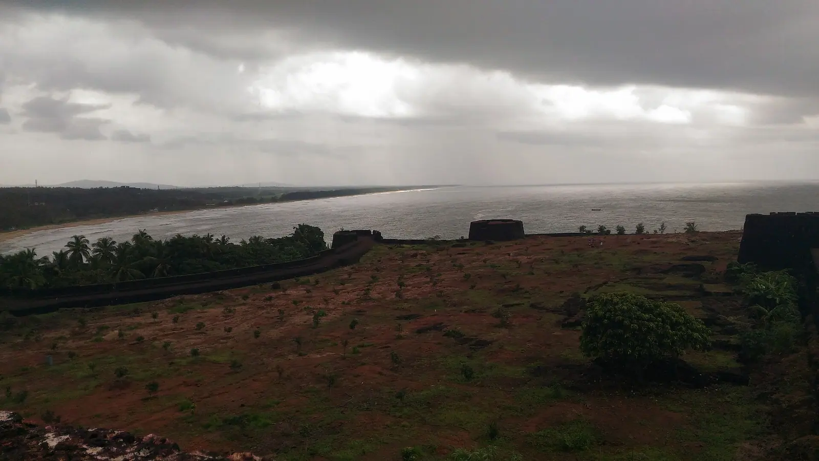 HeritageBekal FortKasaragod
Ranipuram Hills. Grass-covered hills and shola forest on Kerala's northern border, with a short, rewarding trek.
Destination in this story
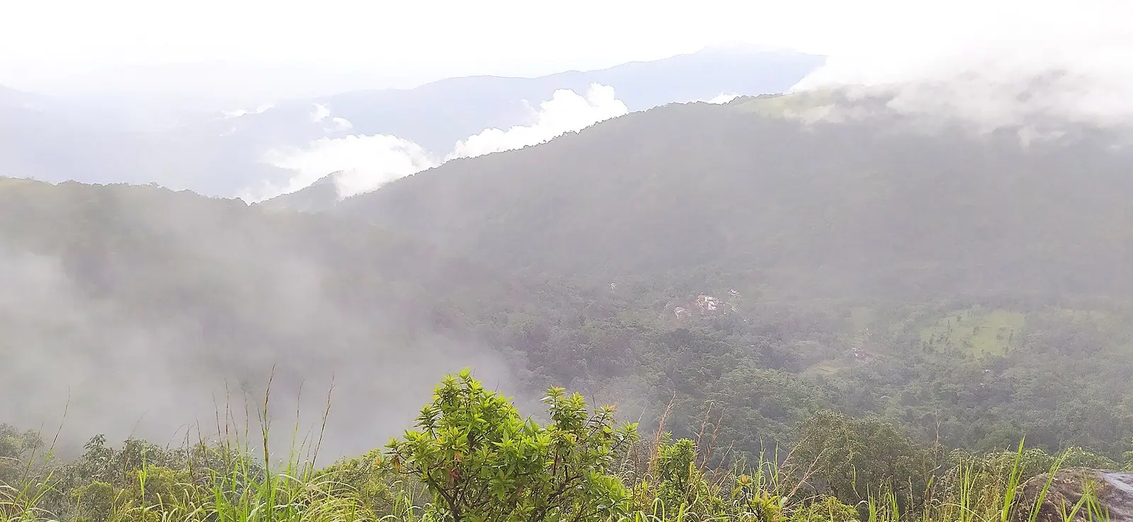 Hill stationRanipuram HillsKasaragod
Practical notes
- Late afternoon gives the best light on the fort and the water.
- Do not walk far onto the sand bed without a local; channels shift and deepen without warning.
- Never drive a vehicle onto the river sand.
- The river is tidal near its mouth, so the water can rise without rain upstream.
Common questions
- Where is Chandragiri fort? On the south bank of the Chandragiri river in Kasaragod district, close to the town of the same name.
- Can you swim in the river? It is not a swimming river. The bed is uneven, the channels shift and the flow is tidal near the mouth.
- Why does the river matter historically? It has long been treated as the boundary between Tulu-speaking country to the north and Malayali country to the south.
Plan this trip
Planning a trip to The Chandragiri river, Kasaragod?
There is no mapped record for The Chandragiri river yet, so no route is drawn. The planner opens with The Chandragiri river named, and a person can check what is actually there.
PLAN TRIP HERE CONTACT US TO ARRANGE THIS TRIPA trip-arrangement request, not a booking. Nothing is confirmed or charged here.
Sources & notes
- Kerala Tourism — official state tourism portal · checked 2026-10-22
- Wikipedia — place and history reference · checked 2026-10-22
- Kerala Tourism — Kasaragod district · checked 2026-10-22
Last updated 3 November 2026. Prices, opening hours and transport should be confirmed with official sources before travel.
Hello Kerala Publisher
Hello Kerala's editorial desk.
Found an error or an outdated detail?
Tell us