Practical
Getting around Wayanad: jeeps, buses and hill roads
Kalpetta, Vythiri, Meppadi and Mananthavady are close on the map and far in practice. How buses, jeeps and the ghat roads actually work.
Wayanad is a plateau broken by ridges, and its towns sit on top of it rather than in a line. Kalpetta is the administrative centre in the middle, Vythiri is west on the Kozhikode road, Meppadi is south-east towards Ooty, Sulthan Bathery is east near the Karnataka border, and Mananthavady is north.
The distances are small — twenty to forty kilometres between most of them — but the times are not. A road that looks like forty minutes on a map is often ninety, and the last ten kilometres to a homestay can take half an hour of first gear.
The ghat roads
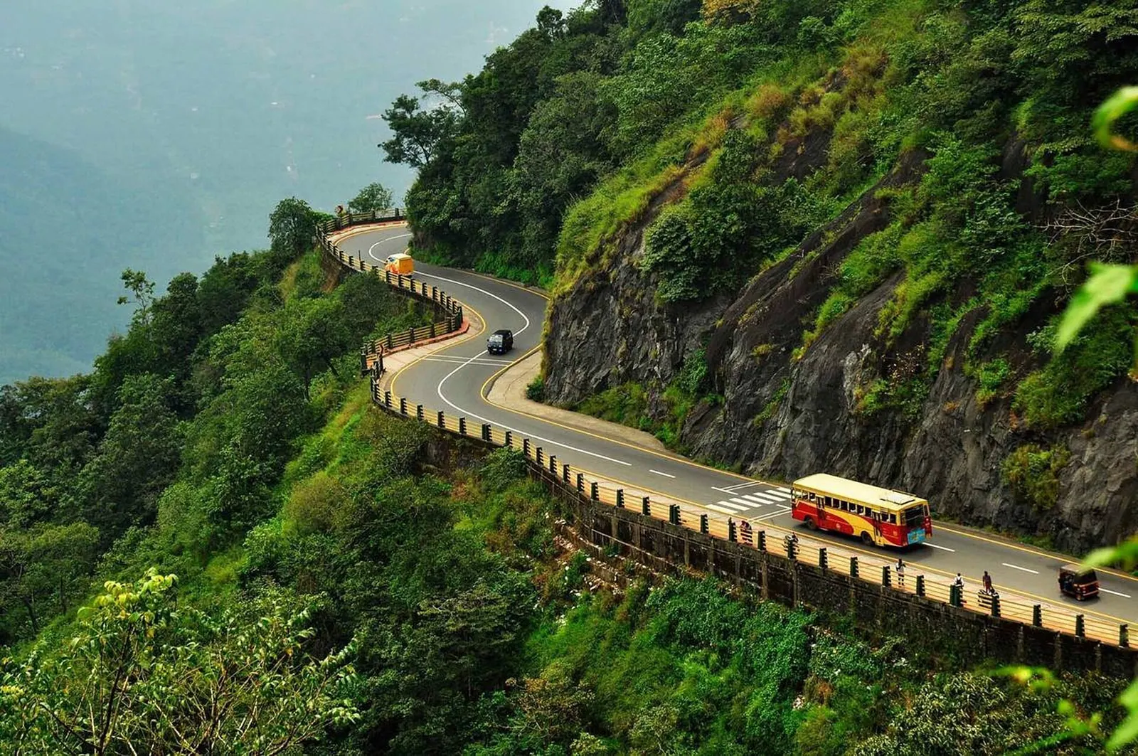
The main climb from the coast is the Thamarassery ghat road from Kozhikode, a series of hairpin bends up the escarpment that carries lorries, buses and everything the district consumes. It is a beautiful road and a slow one, and passengers who get car sick should sit forward and keep water handy.
Other approaches come from Mysuru through Muthanga, from Kannur and Kuttiady in the north-west, and from Nilambur in the south. They are narrower and quieter. Night driving on any of them is a bad idea: unlit lorries, wildlife on the road and fog are all normal, and the forest stretches between towns have no phone signal.
Buses and where they go
Kerala's state buses connect Wayanad to Kozhikode, Mysuru and Bengaluru, and run between the district's towns through the day. They are cheap and frequent on the main routes, and they are the way most people here travel.
Frequency drops sharply in the evening and on Sundays, and the last bus back from a smaller town can leave in the late afternoon. If you are relying on buses, plan the day around the return leg rather than the outward one, and ask at the stand for the last service rather than trusting an app.
Jeeps, autos and rented bikes
Autos work in the towns and for short hops, usually on the meter or a negotiated fare agreed first. For estate roads, forest edges and the steep approaches to some homestays, a jeep is the only vehicle that will do, and hosts can usually arrange one.
Rented motorcycles are popular and suit the smaller roads, but they need a valid licence, a helmet and some experience of hill riding. Brakes, tyres and lights should be checked before you leave the rental yard, and rain makes laterite roads genuinely treacherous.
From Kozhikode and Mysuru
The nearest airport is at Kozhikode, about three hours to Kalpetta by road depending on the ghat traffic. Mysuru is around four hours via Muthanga, and Bengaluru is a long day. There is no railway station on the plateau itself; the nearest useful railheads are in Kozhikode and Mysuru.
Taxis between the airport and the district are expensive but predictable; the bus is cheap and slow. If you are arriving late, book a transfer rather than planning to find one at the airport, because the ghat road at night is not a place to be arranging your first ride.
Driving here
Hill driving in Wayanad means narrow two-lane roads with no shoulder, buses that take their half from the middle, and hairpins where a lorry needs the full width. Use the horn on blind bends, keep left, and do not overtake on a curve, however empty the road looks.
Fuel stations are concentrated in the towns, so fill up before heading east towards Muthanga or north towards Mananthavady. In heavy rain, expect fallen trees and minor landslips, and ask locally before committing to a forest road.
The district in brief
A highland district of coffee, pepper and paddy, Wayanad sits where Kerala meets Karnataka and Tamil Nadu. It is tribal country with ancient rock art, elephant corridors and some of the best short treks in the state.
Elsewhere in Wayanad
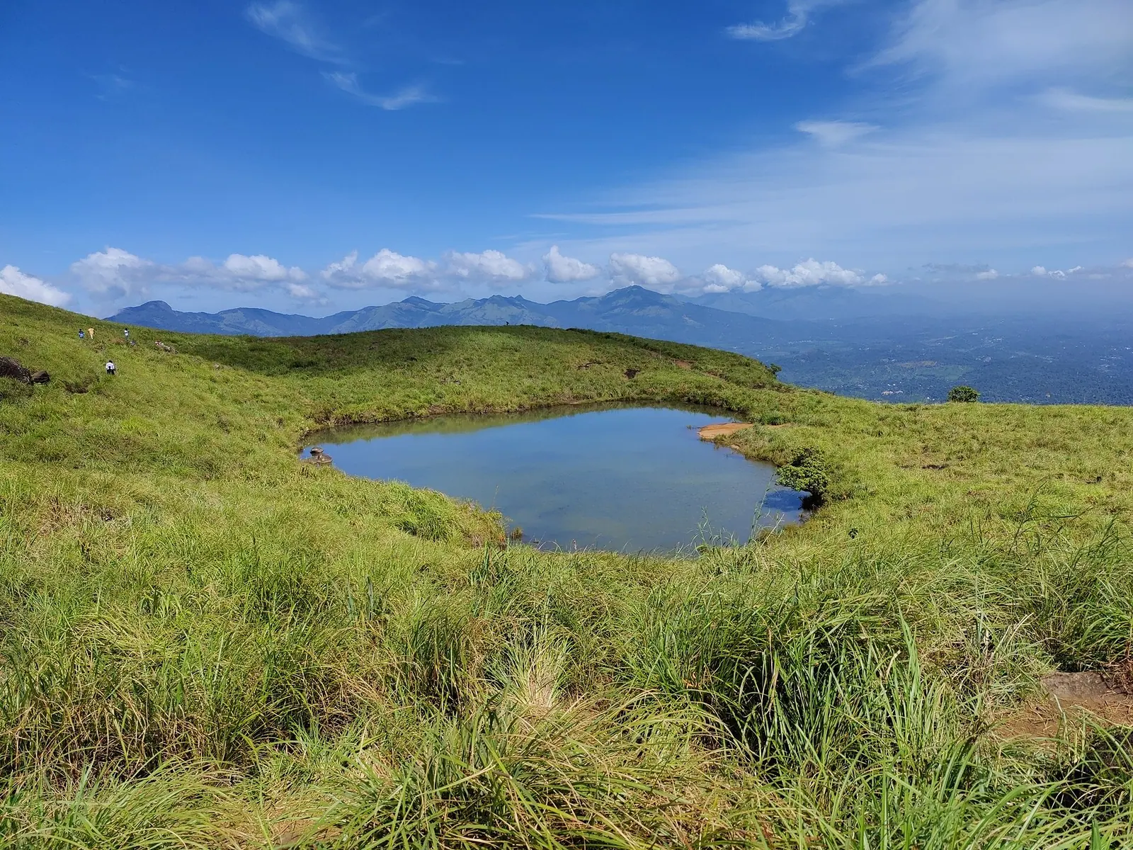
Chembra Peak. Wayanad's highest peak, with a heart-shaped lake and a steep, permit-controlled trek.
Destination in this story
 AdventureChembra PeakWayanad
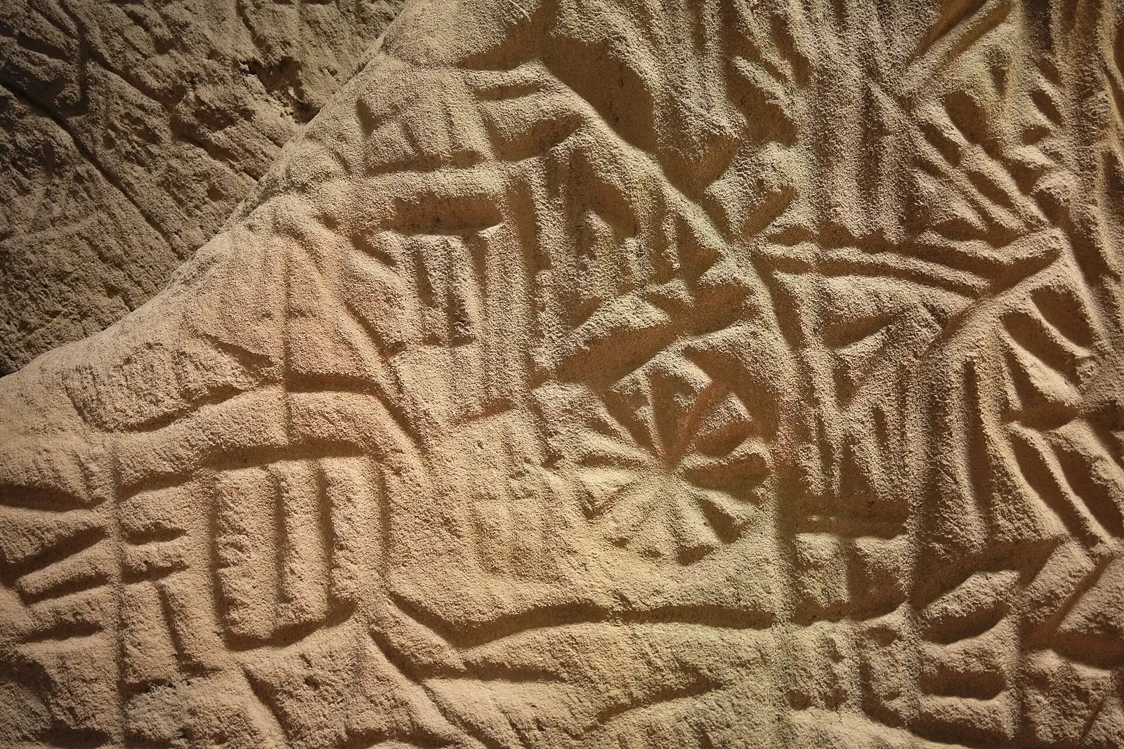
Edakkal Caves. Neolithic rock carvings in a natural cleft high above the Wayanad plateau.
Destination in this story
 HeritageEdakkal CavesWayanad
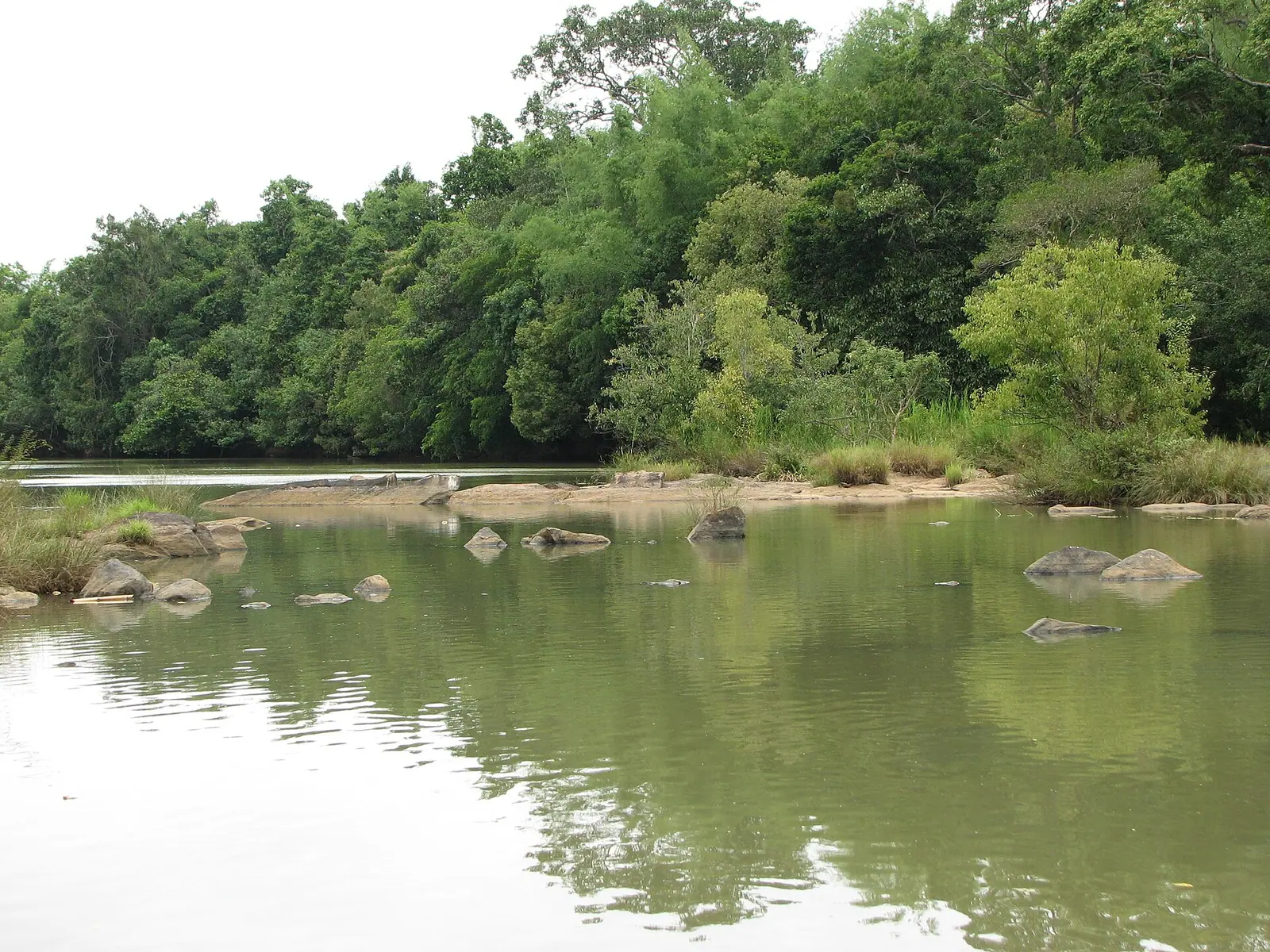
Kuruva Island. A cluster of river islands in the Kabini, with bamboo groves and quiet water.
Destination in this story
 IslandKuruva IslandWayanad
Practical notes
- Plan journeys by time, not distance; hill roads average far slower than the map suggests.
- Ask your host for the last ten kilometres, not the last fifty; access roads are the slow part.
- Avoid driving the ghat roads after dark, and never on a first night.
- Fill up in Kalpetta or Sulthan Bathery before heading for the forest edges.
- Confirm the last bus back from a small town; evening services thin out.
- Check brakes, tyres and lights before renting a bike, and wear a helmet.
Common questions
- Do you need a car in Wayanad? It helps for estates and forest edges, but buses connect the towns and autos cover short hops. Many homestays arrange jeeps for the last stretch.
- How long is the drive from Kozhikode airport? Roughly three hours to Kalpetta, depending on the ghat traffic. It is longer than the distance suggests.
- Is there a railway station in Wayanad? No station on the plateau. The nearest useful railheads are Kozhikode and Mysuru, both reached by road.
Sources & notes
- Kerala Tourism — official state tourism portal · checked 2026-10-22
- Wikipedia — place and history reference · checked 2026-10-22
- Kerala Tourism — Wayanad district · checked 2026-10-22
Last updated 27 October 2026. Prices, opening hours and transport should be confirmed with official sources before travel.
Hello Kerala Publisher
Hello Kerala's editorial desk.
Found an error or an outdated detail?
Tell us