Itinerary
The road to Sabarimala: Nilackal, Pamba and the last climb
Nilackal, Pamba, Neelimala, Appachimedu: the Sabarimala route is a journey with stages, and understanding them is more useful than any list of rules.
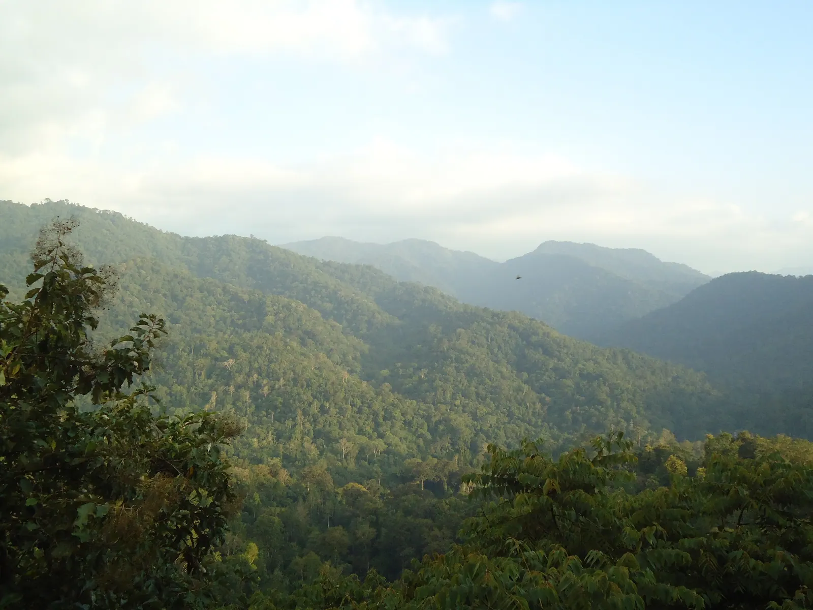
Photograph: rajaraman sundaram / CC BY 3.0, via Wikimedia Commons
Two ways in
Sabarimala sits on a hill inside a forest reserve, and there are two broad approaches. The modern one is by road to Nilackal and then Pamba, from where the pilgrim climbs. The older one is the forest route from Erumeli, through Karimala, which takes a full day on foot and is the route the story of the pilgrimage is built on.
Most visitors use the road route because it is the only practical one for a short trip. But knowing that the forest route exists changes how the place reads: this is not a hill with a temple on top, it is the end of a journey that people have been making on foot for a very long time.
The base at Nilackal
Nilackal is the modern gateway: a large parking and transit area in the forest, where private vehicles stop and pilgrims board the buses that are allowed further in. It exists to keep the last stretch of road from being overwhelmed, and during the season it does the job at a scale that is hard to picture until you see it.
Nilackal is also an old place in its own right, associated with one of the seven churches traditionally attributed to St Thomas in Kerala. The church and the settlement are a short distance from the transit area, and they are easy to miss if you treat the stop as a car park.
Pamba and the climb
From Nilackal the road drops to Pamba, the river crossing and the base of the ascent. The climb from Pamba is about five kilometres of paved path and steps, rising through Neelimala, Appachimedu and Sabari Peedam to the temple. It is steep in places, crowded in season, and lit and served by shops for most of its length.
The stages matter because they are how pilgrims pace themselves. Neelimala is the long pull; Appachimedu is the shoulder where the path eases; Sabari Peedam is the last stop before the final ascent. Walking it in the off-season, when the path is almost empty, is a different and much quieter experience.
What the season does to the place
The pilgrimage season runs from the Mandala period in November through to Makaravilakku in January, with the heaviest crowds in the last weeks of December. During that time Pamba is a town of tents and buses, the path is a queue, and every service in Pathanamthitta is stretched.
Outside the season the temple is closed for most of the year, and the forest reclaims the route. That is the version of Sabarimala that a curious traveller can actually see: the river, the path, the forest, the empty shops, and a hill that is not performing for anybody.
Being a respectful visitor
This is an active place of worship, and the rules around it are not arbitrary. Dress modestly, carry no plastic into the forest, do not smoke or drink, do not fly drones, and do not photograph pilgrims who have not agreed to it. During the season, follow the instructions of the police and the temple authorities without argument; they are managing a crowd that can turn dangerous.
If you are not a pilgrim, the honest position is that you are a guest at somebody else's observance. Walk quietly, give way, and do not treat the climb as a fitness challenge to be logged. The forest around the route is a reserve, and leaving the path is both illegal and genuinely unsafe.
The district in brief
This inland district is best known for the Sabarimala pilgrimage and for the forest around Gavi, reached by a winding road from Vandiperiyar. Aranmula's temple and its metal-mirror craft give the district a quieter cultural anchor.
Elsewhere in Pathanamthitta
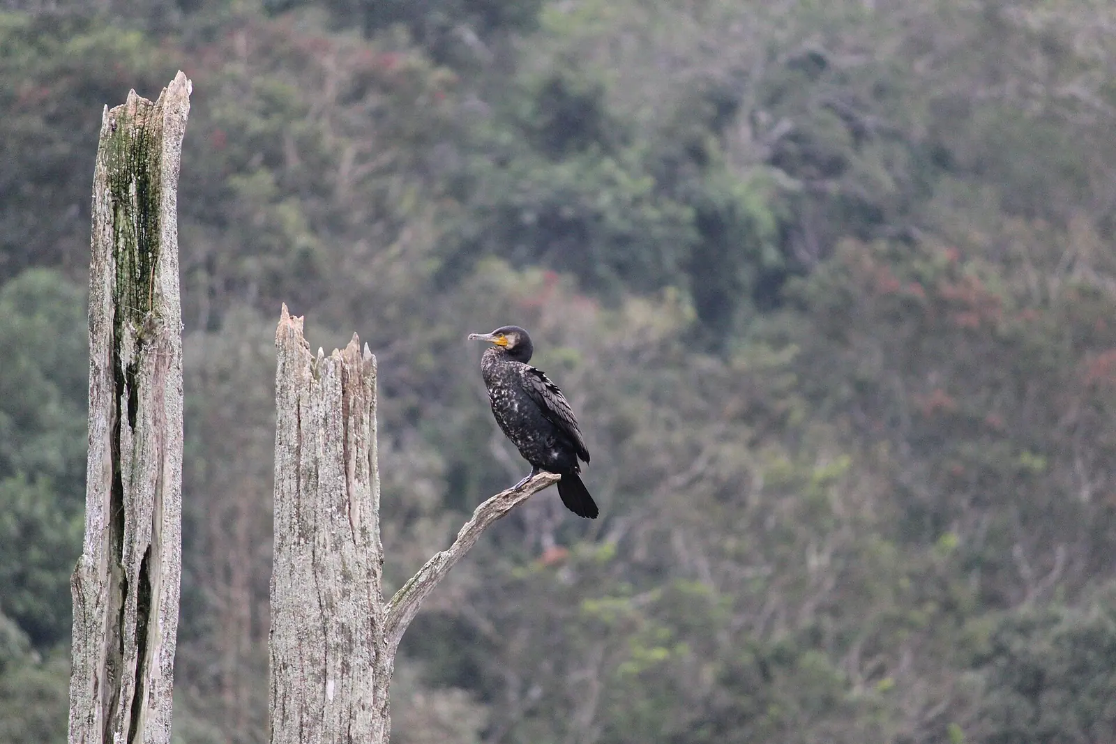
Gavi. A forest eco-camp on the edge of Periyar, reached by a winding road and limited by permit.
Destination in this story
 WildlifeGaviPathanamthitta
Aranmula. A temple village famous for its metal mirrors and its long snake boats.
Destination in this story
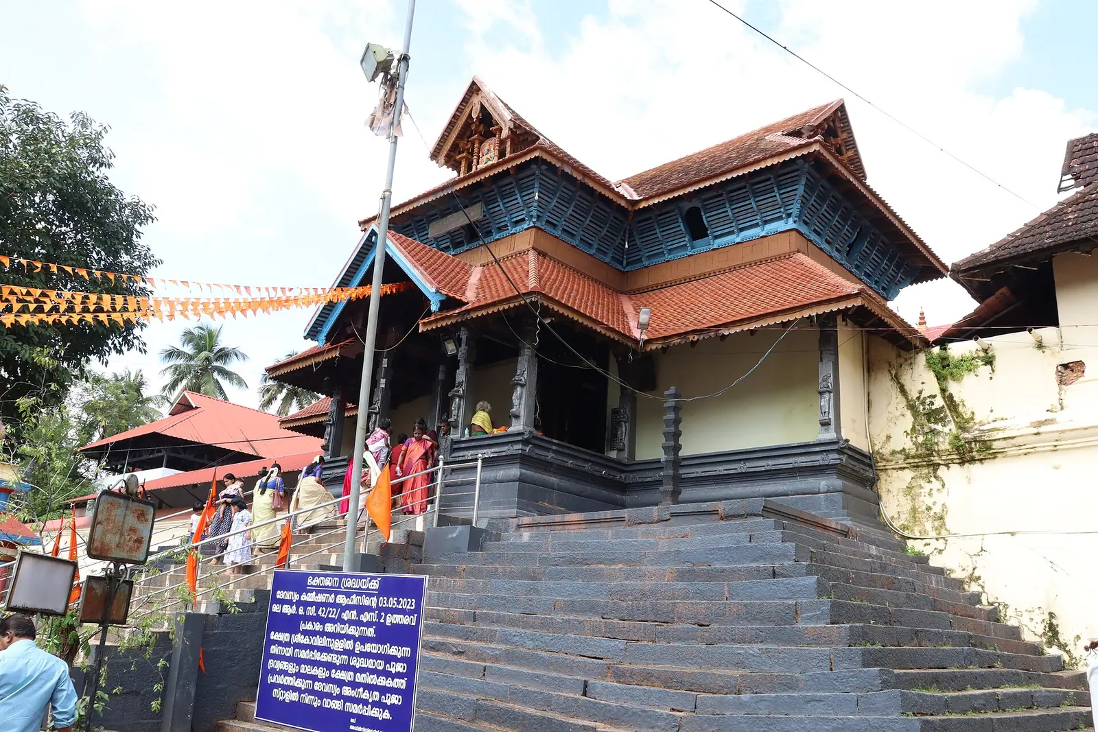 VillageAranmulaPathanamthitta
Practical notes
- Use the Nilackal transit arrangement rather than trying to drive to Pamba.
- Walk the climb early; the path is cooler and far less crowded before mid-morning.
- Carry no plastic into the forest, and take back everything you bring.
- Dress modestly and ask before photographing pilgrims or the temple.
- Check the temple's opening calendar before travelling; outside the season it is closed.
Common questions
- How far is the climb from Pamba? About five kilometres of paved path and steps, rising through Neelimala and Appachimedu to the temple.
- Can you visit Sabarimala outside the pilgrimage season? The temple is closed for most of the year. The route, the river and the forest can be visited, but check the opening dates before planning around the temple itself.
- What is the traditional forest route? The route from Erumeli through Karimala, which takes most of a day on foot and is the historic approach to the shrine.
Plan this trip
Planning a trip to The road to Sabarimala, Pathanamthitta?
There is no mapped record for The road to Sabarimala yet, so no route is drawn. The planner opens with The road to Sabarimala named, and a person can check what is actually there.
PLAN TRIP HERE CONTACT US TO ARRANGE THIS TRIPA trip-arrangement request, not a booking. Nothing is confirmed or charged here.
Sources & notes
- Kerala Tourism — official state tourism portal · checked 2026-10-22
- Kerala Forest Department — protected areas, permits and ecotourism · checked 2026-10-22
- Wikipedia — place and history reference · checked 2026-10-22
- Kerala Tourism — Pathanamthitta district · checked 2026-10-22
Last updated 29 October 2026. Prices, opening hours and transport should be confirmed with official sources before travel.
Hello Kerala Publisher
Hello Kerala's editorial desk.
Found an error or an outdated detail?
Tell us