Nature
The Chalakudy river: Athirappilly's neighbour, and where it goes
Athirappilly's river rises in the Anamalai hills, gathers in dams and falls through a gorge. Its course, its fish, and the long argument over its water.
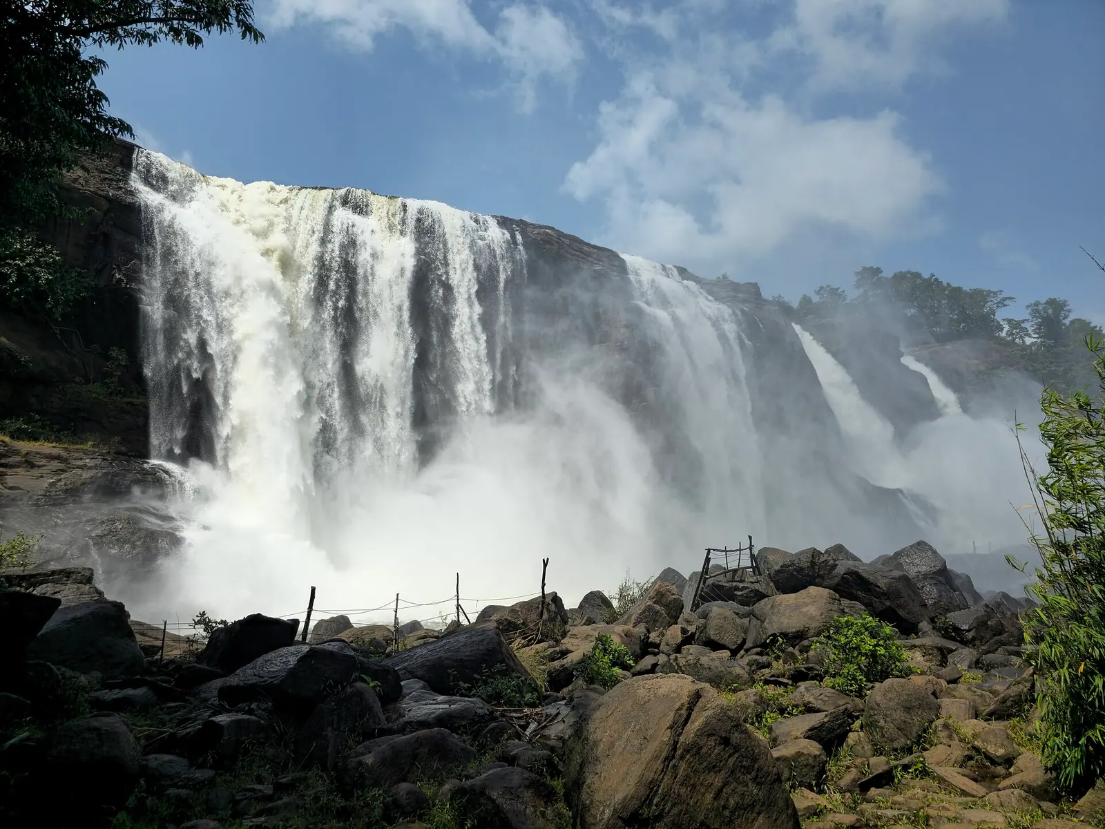
Photograph: Vis M / CC BY-SA 4.0, via Wikimedia Commons
Where it comes from
The Chalakudy rises in the Anamalai hills on the Kerala–Tamil Nadu border, in the high country south-east of Thrissur district. It is one of the state's larger rivers, running roughly west for around 145 kilometres before it reaches the coastal plain.
Its upper catchment is rainforest and grassland in the Vazhachal forest division, and the river cuts through it in a series of gorges rather than across a broad floodplain. That is why the same river that is a trickle in February is a wall of brown water in July.
Most visitors meet it at the falls and never think of it as a river with a course. Following it, even on a map, changes what the falls are: not an attraction but a point where a mountain river drops off the edge of the Ghats.
Destination in this story
WaterfallAthirappilly FallsThrissurThe falls and the gorge
Athirappilly is the best known of the falls, where the river drops in a wide curtain over laterite and rock. A short distance upstream, Vazhachal is a smaller, faster fall in a rocky bed, and the road continues beyond it towards the Sholayar country.
This is one of the wettest corners of Kerala, and the falls are at their most violent in the south-west monsoon. The same season makes the rocks slippery and the water dangerous; the viewing areas are set back for a reason.
The forest around the falls is hornbill country. The great hornbill is the emblem of the division, and early mornings on the road between Athirappilly and Vazhachal are better for birds than the middle of the day.
Dams and the argument over water
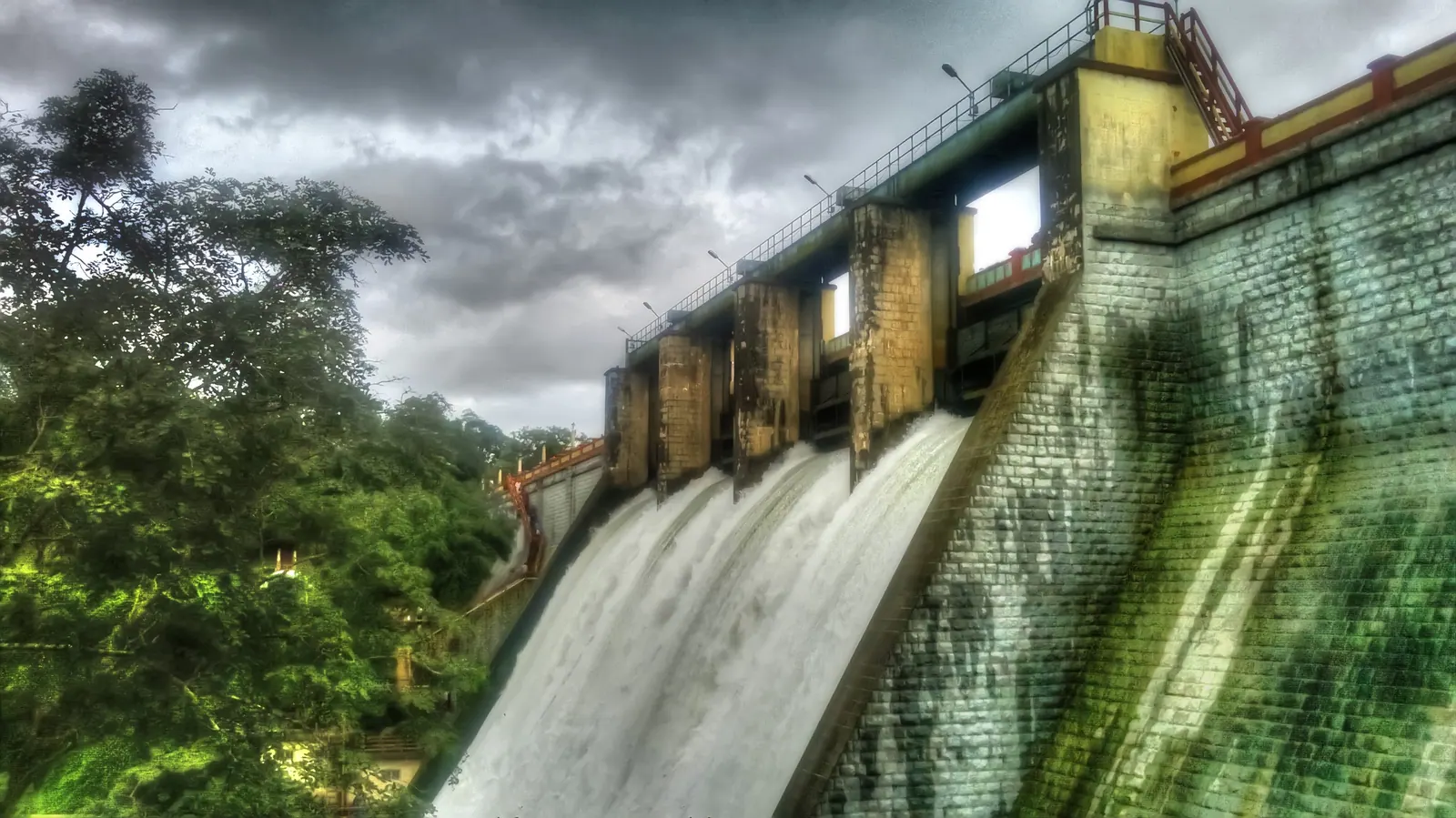
The Chalakudy is a heavily used river. Poringalkuthu and the Sholayar dams — the latter part of the Parambikulam–Aliyar inter-state scheme — store and divert water in the upper catchment, and a weir at Thumboormuzhi controls flow further down.
A long-running proposal for a hydroelectric project at Athirappilly has been the district's most durable environmental argument. Supporters point to power generation; opponents point to the effect on the falls' flow, on the riparian forest, and on a river already under pressure.
A visitor does not need to settle it, but should know that the falls are not a wilderness. They are a working river in a contested catchment, and the water level you see is partly a decision.
Fish and forest
The Chalakudy is known among ichthyologists for its fish diversity: dozens of species, several of them found only in this river system or in the Western Ghats more broadly. Some are small enough to be mistaken for minnows and are the reason the river is studied.
That diversity is a consequence of the gradient — fast, cold, oxygen-rich water in the upper reaches, slower water below — and it is vulnerable to exactly the changes that dams and sand mining produce.
For a visitor the practical version is simple: do not collect, do not release aquarium fish, and do not assume the river is empty because you cannot see what is in it.
The lower river
Below the falls the river loses its drama and gains a plain. It crosses rubber and paddy country around Chalakudy town, where the water is used for irrigation and the banks are villages rather than forest.
The lower course eventually reaches the sea through the river mouths and backwaters north of Kochi, which is why the river matters beyond the district's tourism: it is drinking water, farm water and a fishery before it is a waterfall.
If you have time, drive the lower road for an hour. It is unremarkable, and it is the half of the river that the postcards leave out.
Getting there
The nearest airport and railhead: Cochin International Airport (COK), ~55 km · Chalakudy (CKI), ~30 km.
- By air: Cochin International Airport is about 55 km away.
- By rail: Chalakudy is the nearest station, about 30 km away.
- By road: Drive from Thrissur (about 60 km) or Kochi (about 70 km); the final road is winding.
Once there, A hired car or taxi is easiest. Buses reach Athirappilly but are infrequent.
When to go
June to September for volume; October to February for easier access and lower humidity. Avoid the immediate monsoon if you are unsure about slippery paths.
Humid and warm, with heavy monsoon rain. The falls are at their most powerful in July and August.
Most visitors give it Half a day. That is the record's own recommendation, not a rule.
What to do while you are there
- View the main falls from the designated platforms
- Continue to Vazhachal Falls and the Charpa Falls viewpoint
- Walk the forest edge with a local guide
- Visit the Dream World amusement park if travelling with children
Eating
Simple Kerala meals and snacks near the entrance; Chalakudy town has better options.
Local customs and manners
The forest around the falls is home to tribal communities and wildlife. Do not enter restricted areas or leave litter.
Access, safety and health
Limited. Paths and viewpoints are not wheelchair accessible. Do not swim or climb on the rocks. The current is powerful and deaths occur. Paths are slippery after rain; wear grippy shoes. Avoid the base during heavy flow.
Fees, hours and permits on record
There is a small entry and parking fee. Confirm current rates at the gate.
Daylight hours, typically 8am–5pm; the gate may close earlier in heavy rain.
Some forest trails and the base area require permission or are closed. Follow signage and guard instructions.
Nearby, less obviously
- Vazhachal Falls
- Sholayar forest edge
Practical notes
- See the falls in the monsoon for volume, but respect the barriers.
- Go early for hornbills on the Athirappilly–Vazhachal road.
- Do not swim above or below the falls; the rock is slippery and the flow unpredictable.
- Carry rain protection even in the dry months; this is a wet catchment.
- Ask before walking into forest land; much of it is protected.
- Combine the falls with Vazhachal rather than turning back at the first viewpoint.
Common questions
- How far is Vazhachal from Athirappilly? A short drive upstream on the same forest road. Most visitors see both in one trip.
- Can you swim at the falls? No. The water is fast, the rock is slippery, and the flow changes with the dams and the rain.
- Why is the river controversial? A proposed hydroelectric project at Athirappilly has been argued over for decades, on grounds of power generation versus the falls' flow and the riparian forest.
- Can I swim at Athirappilly? No. The river is dangerous and swimming is not permitted.
- When is the waterfall at its best? The monsoon months bring the most water, but paths are slippery. October to February is easier for a comfortable visit.
Plan this trip
Planning a trip to Athirappilly Falls, Thrissur?
Nearby places around Athirappilly Falls with real road distances, listed stays, and a route you build yourself.
PLAN TRIP HERE CONTACT US TO ARRANGE THIS TRIPA trip-arrangement request, not a booking. Nothing is confirmed or charged here.
The full place guideAthirappilly FallsThrissur · how to get there, when to go, what it costsSources & notes
- Kerala Tourism — official state tourism portal · checked 2026-10-22
- Wikipedia — place and history reference · checked 2026-10-22
- Kerala Tourism — Thrissur district · checked 2026-10-22
Last updated 1 November 2026. Prices, opening hours and transport should be confirmed with official sources before travel.
Hello Kerala Publisher
Hello Kerala's editorial desk.
Found an error or an outdated detail?
Tell us