Backwaters
Vembanad's eastern shore: villages, boats and no itinerary
The Kottayam side of Kerala's largest lake is quieter than Alappuzha and harder to package. That is exactly why it is worth slowing down for.
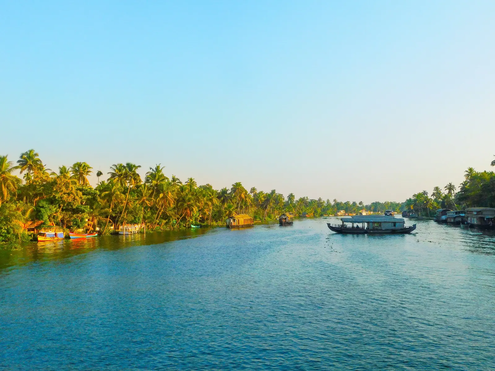
Most backwater itineraries start in Alappuzha and end in Kumarakom, with a houseboat in between. That route is fine, but it treats Vembanad as scenery between two jetties. The lake's eastern shore, which belongs to Kottayam district, is a different proposition: a string of villages, small boat yards, paddy fields and churches, with far less infrastructure aimed at visitors. It rewards a base rather than a transit.
One lake, several waters
Vembanad is the largest lake in Kerala and a Ramsar wetland of international importance. It is not uniform. The Thanneermukkom Bund, built across the lake, separates a northern section that stays largely fresh from a southern section that is influenced by the sea. That engineering decision changed the ecology on both sides — affecting salinity, fish, clam beds and the paddy fields that depend on controlled water. When people talk about the backwaters as a single thing, this is the detail that explains why the water looks and behaves differently from one place to the next.
Kottayam's water door
Kottayam town has a boat jetty and a canal connection to the lake, a reminder that water was once a practical road rather than a tourist attraction. Passenger ferries and small country boats still move people between settlements, though road transport has taken most of the traffic. For a visitor, the appeal is not a scheduled sightseeing service but the ordinary movement of a place where the shortest route to school or market may still be across water. Ask locally what is running; schedules are not something to assume from a website.
Work on the water
This is not an empty landscape. Clam shells are dredged from the lake bed and burned for lime; karimeen and other fish are caught in nets and traps; paddy is grown in fields that sit at or below lake level, protected by bunds. Coconut, banana and tapioca grow on the raised ground between channels. In the early morning you will see people working the water before the heat arrives, and in the evening you will see nets being repaired. A village walk is more informative than a narrated cruise, provided you remember that these are people's homes and workplaces.
- Ask before photographing people at work, especially at boat jetties and fish landing spots.
- Do not walk into paddy fields or across bunds that are clearly private.
- Carry water; shade is intermittent and the humidity is real.
- A small country boat is usually a better fit than a large houseboat for narrow channels.
How to travel it
Base yourself in Kottayam town or a village homestay, not on the resort strip, if you want the eastern shore rather than a packaged version of it. A bicycle or a scooter opens up the lanes between villages, but the roads are narrow and shared with buses, so ride cautiously. On the water, hire a small boat through your accommodation or a local operator and agree the route and duration before boarding. Sunset is the obvious time to be out, but early morning is when the lake is at its most useful and least performed.
The eastern shore does not have a headline attraction. It has a working lake, a few interesting churches and temples, and the kind of quiet that is hard to manufacture. If you want a checklist, go to Alappuzha. If you want to understand how the backwaters actually function, give Kottayam's shore a night or two.
Sources & notes
- Kerala Tourism — official state tourism portal · checked 2026-10-22
- Wikipedia — place and history reference · checked 2026-10-22
Last updated 24 October 2026. Prices, opening hours and transport should be confirmed with official sources before travel.
Hello Kerala Publisher
Hello Kerala's editorial desk.
Found an error or an outdated detail?
Tell us