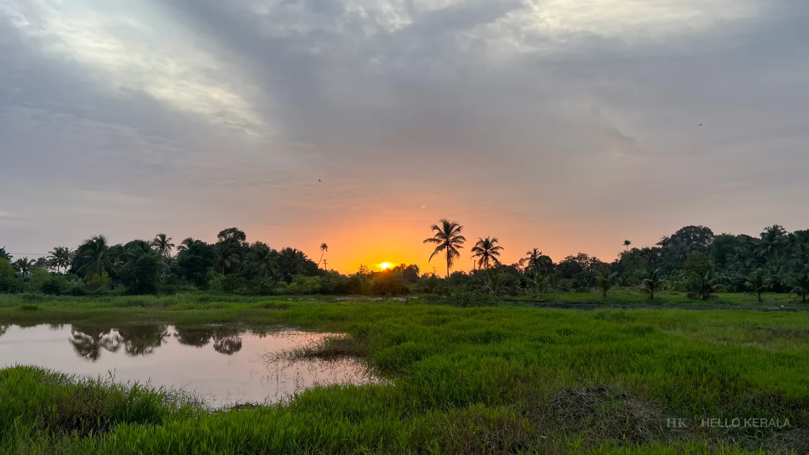
Hill country
The Poonjar road: Kottayam's climb into the high ranges
From the rubber belt at Erattupetta up through Poonjar and on towards the tea country, the district's eastern road is the most interesting drive in central Kerala.
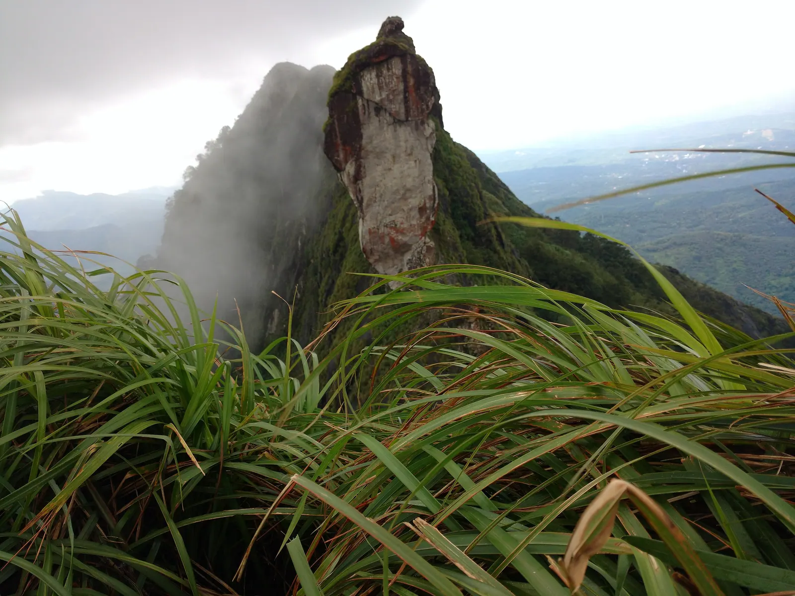
Photograph: Hciteam1 / CC BY-SA 4.0, via Wikimedia Commons
Most visitors treat Kottayam as a lake district and stop at the water. But the district runs east into the Western Ghats, and the road that climbs from Erattupetta through Poonjar towards Teekoy and the high ranges is a different Kerala altogether: rubber gives way to pepper, then to cardamom and tea, and the air changes within a few bends.
This is not a highway with viewpoints. It is a working hill road through small towns and plantations, and the pleasure is in the transition rather than in any single stop.
From rubber to tea
Around Erattupetta the country is rubber: tall, grey-trunked plantations in neat rows, tapped in the early morning, with the collecting cups and the smell of latex. Rubber is a crop with a rhythm — the trees are tapped before light, the latex is collected and taken to a small processing shed — and a plantation at dawn explains more about the district's economy than any museum.
Climbing through Poonjar the mix changes. Pepper vines climb shade trees, banana and tapioca grow around the houses, and cardamom appears as the road gains height. Further up, towards Teekoy and the Vagamon side, the tea bushes start and the landscape opens out.
The road is narrow in places and busy with jeeps, buses and loaded pickups. Drive it in daylight, take the bends slowly, and do not expect to average any particular speed.
Poonjar's old palace
Poonjar was the seat of a small princely house, and the town keeps a palace associated with it — a traditional building with wooden architecture and a quiet compound. It is a modest stop rather than a grand one, and it is best visited as part of the drive rather than as a destination in itself.
The history matters more than the building: this was a minor princely state on the edge of the high ranges, and the road you are driving was the connection between the paddy country below and the forest produce above. That relationship — timber, cardamom, tea, labour — shaped the highlands more than any single ruler did.
Driving it well
Start early. The light on the plantations is best before nine, the road is quieter, and you are off the hills before the afternoon rain in the monsoon months. A car with ground clearance is comfortable; a bus is possible but slow and crowded.
There are no reliable public facilities along the upper stretches, so carry water and use the towns. Mobile signal is patchy in the folds of the hills. If you are continuing towards Vagamon or Illikkal Kallu, check the condition of the last stretch locally — hill roads are repaired in one season and broken in the next.
Monsoon is the wrong time for this drive unless you know the road. Landslips close the upper stretches most years, and the views that justify the climb are gone in the cloud.
Where it takes you
The road is the approach to the district's highland edge: the tea country around Teekoy, the meadows at Vagamon on the Idukki side, and Illikkal Kallu, the rock that stands above the ridge and is visible from a surprising distance on a clear day.
You do not need a destination. A morning driving from Erattupetta to the upper tea and back, with two stops — a plantation and a tea shop — is one of the best half-days in central Kerala, and almost nobody does it.
The district in brief
Kottayam is the land of rubber estates, publishing houses and the Kumarakom bird sanctuary on Lake Vembanad. It makes a calmer base for the backwaters than Alappuzha, with easy access to both the lake and the Idukki hills.
Elsewhere in Kottayam
Malarikkal. A paddy belt near Thiruvarppu that holds shallow water and, for part of the year, water lilies. It is working farmland, not a lily garden.
Destination in this story
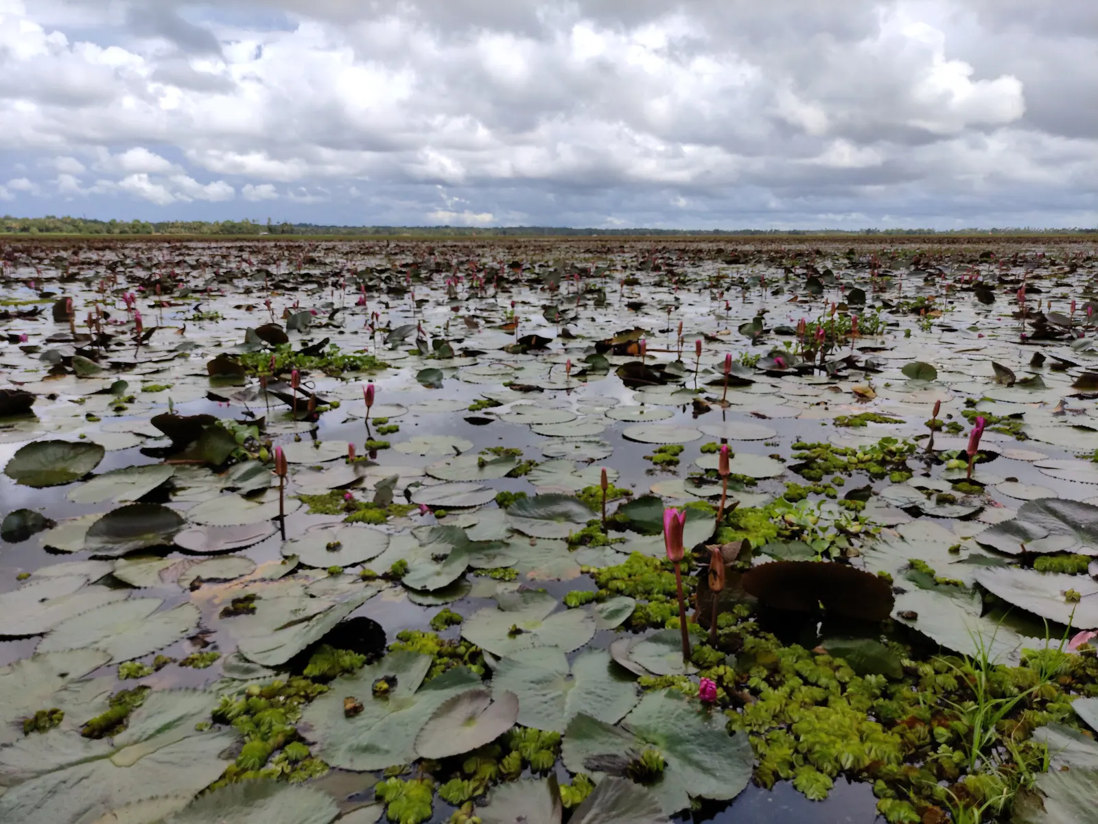 VillageMalarikkalKottayam
Kumarakom. A bird sanctuary and backwater village on Lake Vembanad, with resorts, kayaks and migratory birds.
Destination in this story
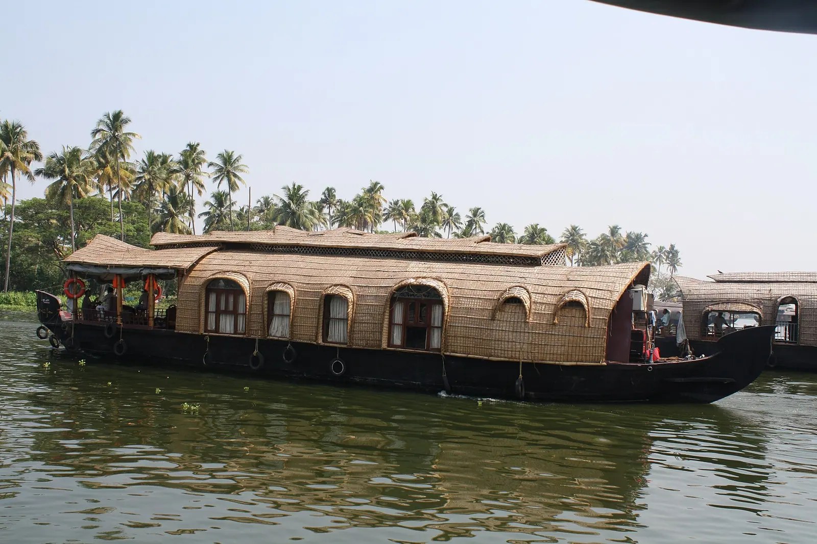 BackwatersKumarakomKottayam
Practical notes
- Drive it in daylight and start early; the road is narrow and slow.
- Carry water — facilities thin out above Poonjar.
- Signal is patchy in the folds of the hills.
- Avoid the monsoon; landslips close the upper stretches most years.
- Check the road condition locally before continuing to Vagamon or Illikkal Kallu.
Common questions
- Is the Poonjar road worth driving? Yes, if you are interested in how the district changes from rubber to tea. It is a working hill road rather than a scenic highway.
- Can you drive to Vagamon from Kottayam this way? Yes, the road continues towards Teekoy and the Vagamon side. Check the condition of the upper stretch locally before setting out.
- When is the best time for this drive? The cooler, drier months from about October to March. Monsoon brings landslips and cloud on the upper road.
Plan this trip
Planning a trip to The Poonjar road, Kottayam?
There is no mapped record for The Poonjar road yet, so no route is drawn. The planner opens with The Poonjar road named, and a person can check what is actually there.
PLAN TRIP HERE CONTACT US TO ARRANGE THIS TRIPA trip-arrangement request, not a booking. Nothing is confirmed or charged here.
Sources & notes
- Kerala Tourism — official state tourism portal · checked 2026-10-22
- Wikipedia — place and history reference · checked 2026-10-22
- Kerala Tourism — Kottayam district · checked 2026-10-22
Last updated 4 November 2026. Prices, opening hours and transport should be confirmed with official sources before travel.
Hello Kerala Publisher
Hello Kerala's editorial desk.
Found an error or an outdated detail?
Tell us