Hidden gems
Kakkayam: the dam, the rainforest and the road beyond
A reservoir in the hills east of Kozhikode, a forest that belongs to the Malabar Wildlife Sanctuary, and a road that is as much the destination as the dam itself.
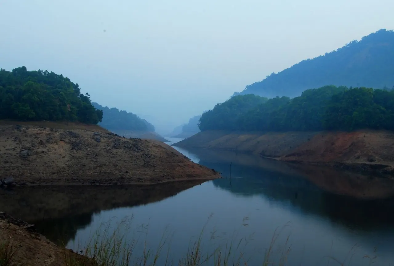
Kakkayam is a small settlement in the hills east of Kozhikode, where a dam holds back a reservoir in a fold of the Western Ghats. The road climbs through rubber and arecanut, then through denser forest, and ends in a landscape that feels considerably further from the coast than the distance suggests. It is not a resort area. There are a few viewpoints, a dam, a stretch of water and a great deal of green.
The reservoir is the centrepiece, and the reason most people come. The water sits low between steep, wooded ridges, and in the early morning it can be completely still. The dam itself is an engineering structure rather than a visitor attraction, and access to it may be restricted depending on water levels, maintenance and security. Ask before walking onto any part of the dam or its approach roads.
Forest, waterfalls and the road
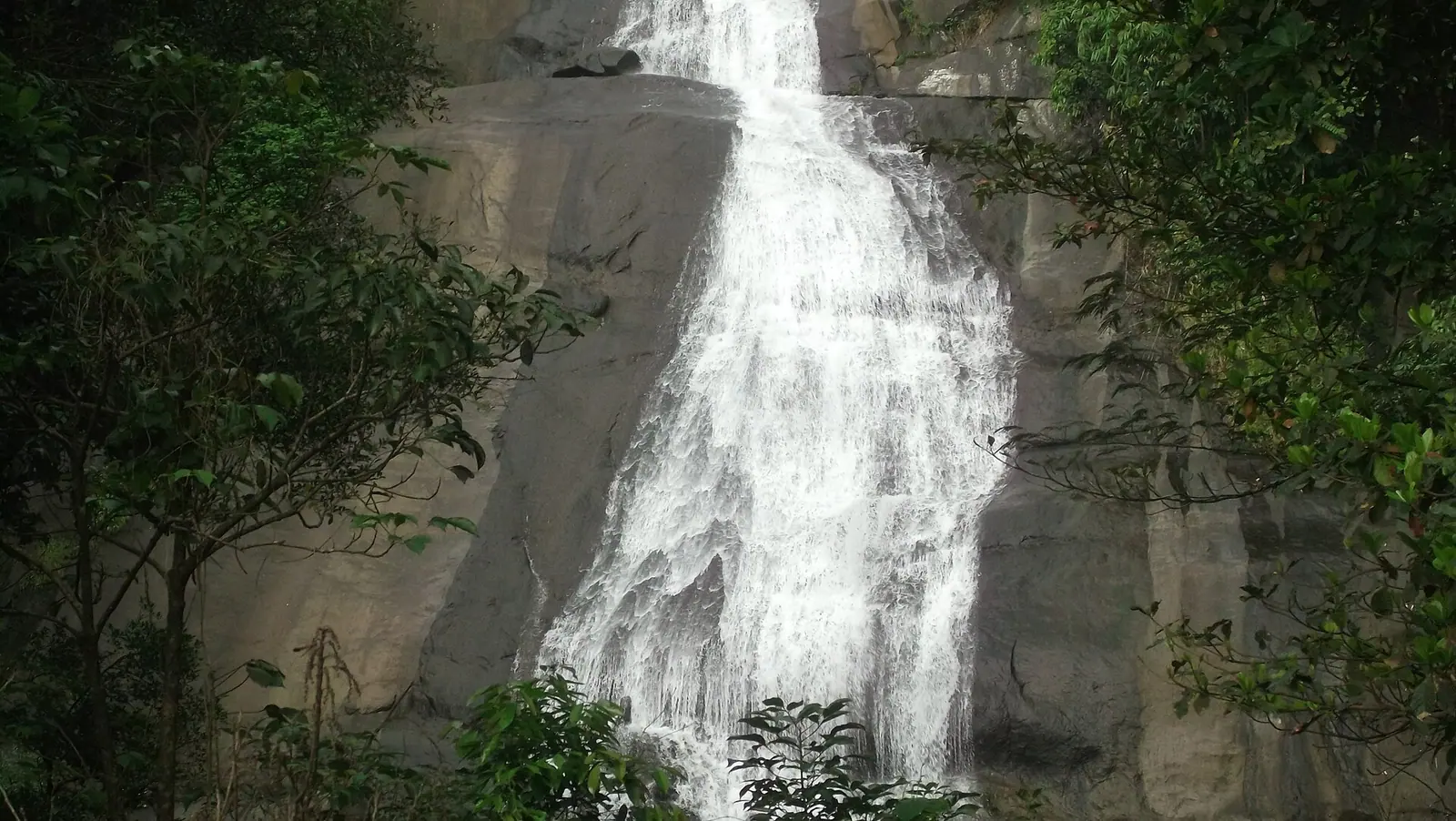
The surrounding hills are part of the Malabar Wildlife Sanctuary landscape, which stretches across the border into Wayanad. This is elephant and gaur country, and the forest is not a manicured park. Small waterfalls appear beside the road in the monsoon, and the streams that feed the reservoir run clear in the dry months. The drive from Kozhikode, via Koorachundu, is winding and slow, with a couple of places to stop for tea.
Do not treat the road beyond the dam as a scenic loop to be explored at will. Some tracks lead into forest or private land, and some are closed. If you want to walk, ask locally where it is safe and permitted, and go with a guide if you are heading any distance from the road. The forest is not a place to test your navigation.
Access and expectations
Kakkayam is a domestic day-trip destination, not an international one. Facilities are basic: a few shops, no reliable restaurant scene, and limited accommodation. That is part of the appeal, but it means you should arrive with water, food and a full tank of fuel. Phone signal is patchy. The nearest reliable services are back down in the towns on the plain.
- Check whether the dam area is open before making the drive.
- Carry food and water; there is very little on the road.
- Do not walk into forest tracks without local advice or a guide.
- Expect leeches and slick roads in the monsoon.
- Drive back before dark; the ghat road is not one to improvise on.
When to go
The months after the southwest monsoon, from September to February, are the most reliable. The reservoir is full, the forest is green and the road is usually in reasonable condition. The height of the monsoon is dramatic but can bring landslides and closures. Summer is hot on the plains but the hills remain tolerable, especially in the early morning.
Sources & notes
- Kerala Tourism — official state tourism portal · checked 2026-10-22
- Wikipedia — place and history reference · checked 2026-10-22
- Kerala Forest Department — protected areas, permits and ecotourism · checked 2026-10-22
Last updated 24 October 2026. Prices, opening hours and transport should be confirmed with official sources before travel.
Hello Kerala Publisher
Hello Kerala's editorial desk.
Found an error or an outdated detail?
Tell us