Nature
The Bharathapuzha: Kerala's long river and its quiet banks
Kerala's second-longest river carries temple history, rice fields and a water crisis. A slow drive along its Malappuram reaches, with the respect the river asks for.
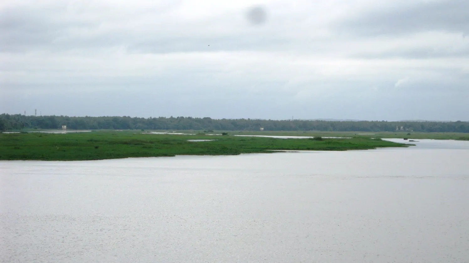
The Bharathapuzha is the longest river in Kerala after the Periyar, and for much of its length it is not a dramatic river. It is wide, shallow and brown, with sandbanks that appear in the dry months and a bed that has been mined and altered for generations. To see it only as scenery is to miss the point. This river watered the rice fields of the Palakkad gap and the southern Malabar plain, supported temple towns and markets, and still carries the memory of one of Kerala's great festivals.
From the Ghats to the sea
The river rises in the Anamalai hills in Tamil Nadu and enters Kerala through the Palakkad gap, the low pass that has been the state's natural doorway for centuries. It flows west through Palakkad and then into Malappuram, past towns and villages, before reaching the sea near Ponnani. Its tributaries drain a large part of central Kerala. The name is associated with Brahma in myth, but the river's importance is practical: it is the water source for a belt of paddy land, and its failure is a recurring political issue.
The Bharathapuzha is often described as a river that no longer reaches the sea in a healthy flow for much of the year. Dams, irrigation withdrawals, sand mining and changes in rainfall have reduced it, and in the dry season long stretches are a braided channel of sand and pools. This is not a reason to avoid the river, but it is a reason to see it as a living system under pressure rather than a picturesque backdrop. The people who live along it have adapted, and the landscape reflects those adaptations.
Thirunavaya and the river's ritual life
Thirunavaya, on the Malappuram bank, is one of the river's most important cultural sites. The temple complex is associated with the Mamankam, a great assembly and festival that drew rulers and traders to the river banks in the pre-colonial period. The historical record is complex and contested, and the festival itself is no longer held in its old form, but the ghats, temples and the wide river view still carry the weight of that history. It is a place to walk slowly, observe the rituals if any are taking place, and ask before photographing.
The river also supports a network of small shrines, bathing ghats and cremation grounds. These are not tourist sites. If you visit, keep a respectful distance from ceremonies, do not enter restricted areas, and dress modestly. The same applies at the churches and mosques in the towns along the river. Malappuram's religious landscape is plural and deeply felt; a visitor's curiosity should not become an intrusion.
A quiet drive
- Follow the river roads rather than the highway; the minor routes pass through paddy land and villages.
- Stop at a bridge in the late afternoon for the light and the birdlife.
- Ask before walking on bunds or through fields; they are working land.
- Carry water and sun protection; shade is sparse along the open reaches.
- Avoid the river during heavy rain; flows can rise quickly and banks are unstable.
The best way to see the Bharathapuzha is without an itinerary. Drive south from Palakkad, cross into Malappuram, and take the smaller roads that run beside the water. Stop where there is a tea shop and a view. The river will not perform, but it will show you a Kerala that is agricultural, seasonal and closely tied to water in ways that the coast can obscure. That is worth a day.
Sources & notes
- Kerala Tourism — official state tourism portal · checked 2026-10-22
- Wikipedia — place and history reference · checked 2026-10-22
Last updated 24 October 2026. Prices, opening hours and transport should be confirmed with official sources before travel.
Hello Kerala Publisher
Hello Kerala's editorial desk.
Found an error or an outdated detail?
Tell us