Itineraries
The Palakkad Gap: a drive through Kerala's weather door
The lowest opening in the Western Ghats is not a sight so much as a piece of geography you can drive through. It explains the district's heat, its history and its traffic.
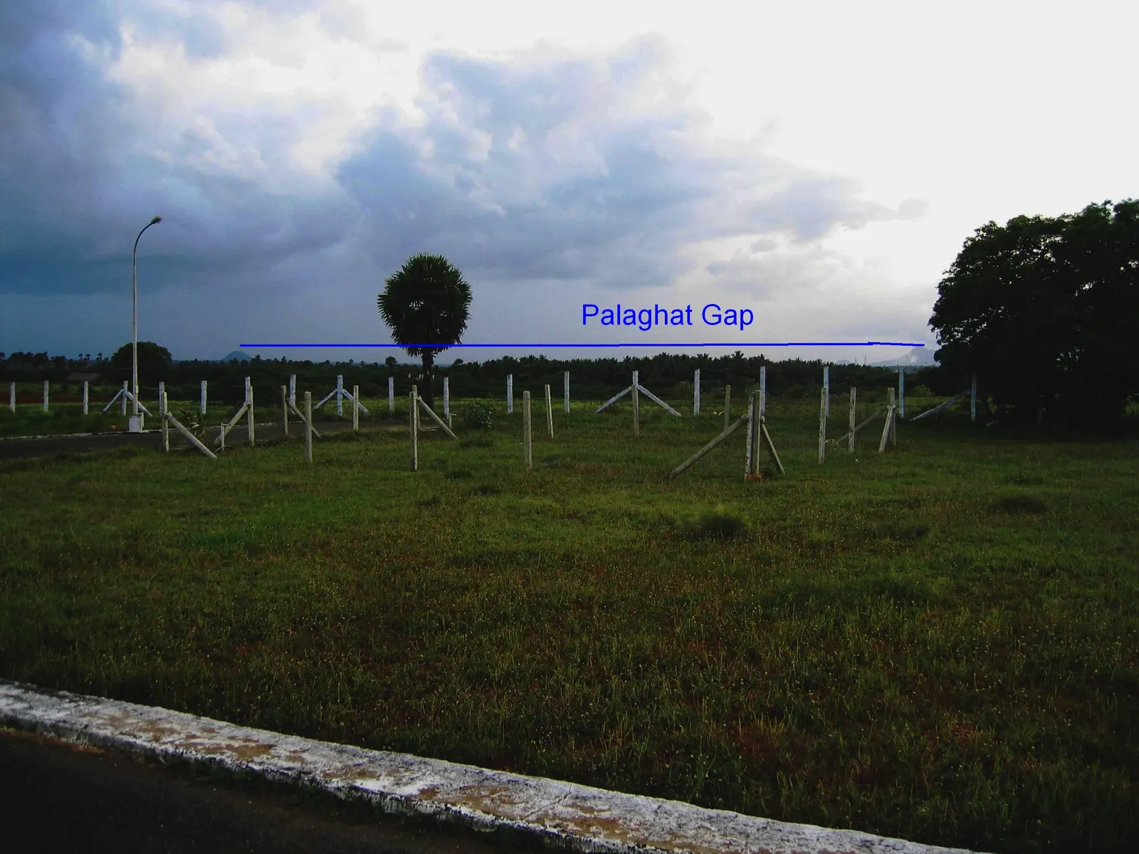
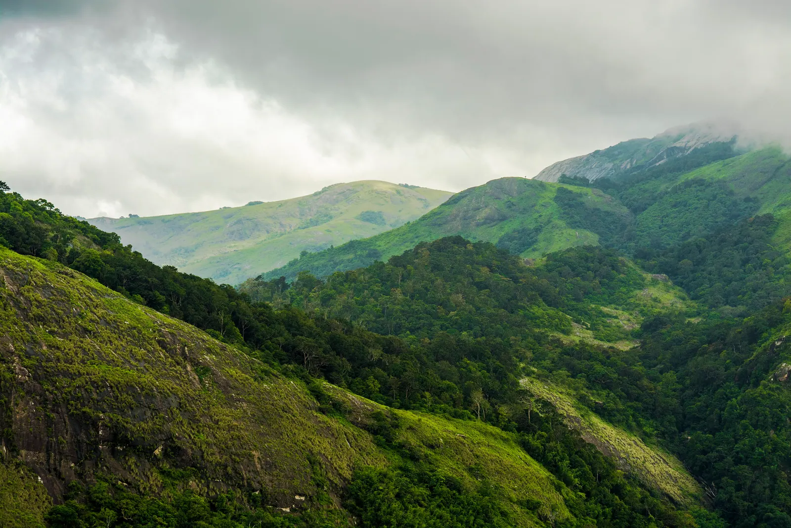
The Western Ghats run down the western side of India like a wall, and for most of their length they are a serious barrier: steep, forested, crossed by a handful of difficult roads. Then, near Palakkad, the wall opens. The Palakkad Gap is a broad, low corridor roughly 30 to 40 kilometres wide between the Nilgiri hills to the north and the Anaimalai hills to the south. It is the easiest natural route between Kerala's coast and the Tamil Nadu plateau, and it has shaped the district's weather, trade and traffic for centuries.
You will not find a dramatic viewpoint marked 'Gap'. The pass is a landscape rather than a monument: dry fields, scrub, rocky outcrops, wind turbines on the ridges, and a highway carrying lorries, buses and commuters. The interest is in noticing what the opening does to the land on either side.
What a gap in the mountains means
The Western Ghats force the southwest monsoon to rise and cool, which is why the windward side of Kerala is so wet. The Palakkad Gap lets some of that moisture through, but it also lets the dry winds of the Tamil Nadu plateau in. Palakkad is noticeably hotter and drier than the coastal districts, with a longer dry season and a landscape of palmyra, groundnut, cotton and millet alongside rice. Travellers who arrive from Kochi are often surprised by how different the light and vegetation feel.
The gap has been a route for people, goods and armies for a very long time. Pepper, cardamom and timber moved east; horses, salt and cloth moved west. The road and the railway that now run through it follow the same logic. Control of the corridor is why Palakkad has a fort, and why the town grew where it did.
The road itself
The main road east from Palakkad towards Coimbatore is a working highway, not a scenic drive. It is fast in places and congested in others, with heavy lorry traffic, overtaking on bends and the usual mix of buses, motorbikes and pedestrians. Drive defensively, avoid the temptation to overtake on the climb, and do not stop on the shoulder for photographs unless there is a proper lay-by.
The railway runs through the gap as well, and the route is one of the more interesting train journeys in the region for the simple reason that you can watch the landscape change. On the Kerala side the fields are wet and green; on the Tamil Nadu side they become drier and more open. The border is not marked by anything dramatic, but the crops, the language on the signs and the food change quickly.
- Start from Palakkad town, see the fort, then drive east through the gap towards Coimbatore.
- Stop at a roadside tea shop on the Kerala side for a sense of the local pace, not at a highway chain.
- Notice the wind turbines and the dryland crops on the ridge approaches; this is the rain-shadow effect in plain sight.
- Allow more time than the distance suggests. The corridor is short but the traffic is not.
- Carry identification and expect checkposts; they are routine, not a crisis.
Driving it well
The best time to drive the gap is early morning, when the light is soft, the lorries are fewer and the heat has not yet built. Late afternoon is also good, but the return journey can run into dusk and the highway is not pleasant in the dark. Avoid the middle of the day in April and May, when the tarmac and the temperature both peak.
This is not a route that rewards a long list of stops. The pleasure is the transition: the last wet rice fields, the rocky slopes, the wind farm, the change in food and language, and the sudden sense of being on the other side of the mountains. A half-day drive with one tea stop is enough. If you want a walk, combine it with Malampuzha or the Nelliampathy road rather than trying to find a trail beside the highway.
For travellers based in Kochi or Coimbatore, the gap is also a practical corridor: a way to connect the Kerala coast with the Nilgiri hills and the Tamil Nadu interior without crossing the highest part of the Ghats. Treat it as infrastructure with a story, and it becomes one of the more memorable drives in the state.
Sources & notes
- Kerala Tourism — official state tourism portal · checked 2026-10-22
- Wikipedia — place and history reference · checked 2026-10-22
Last updated 24 October 2026. Prices, opening hours and transport should be confirmed with official sources before travel.
Hello Kerala Publisher
Hello Kerala's editorial desk.
Found an error or an outdated detail?
Tell us